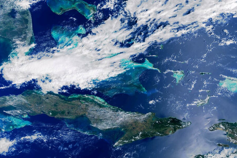
The Expansion of Modern Marine Protected Areas
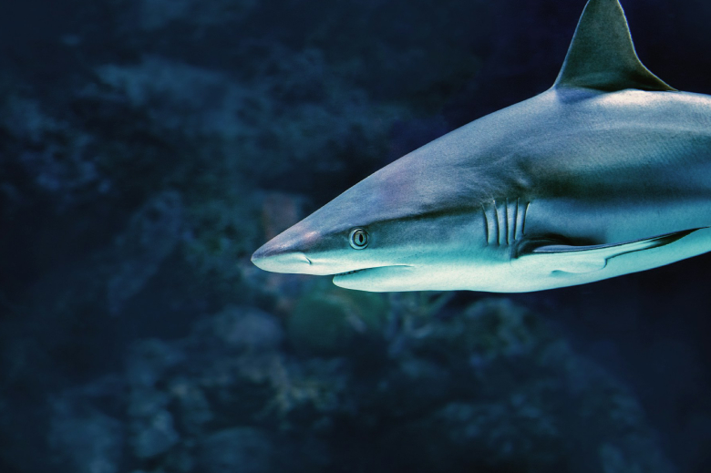
If you want to save a forest, you put a fence around it. But how do you protect a pod of migratory hammerhead sharks that travels across three different national maritime borders every year without checking passports?
That practical dilemma has sparked one of the most exciting transformations in ocean conservation over the past six years.
Between 2020 and today, ocean protection moved away from isolated, pocket-sized reserves. Instead, nations pioneered interconnected "mega-sanctuaries," transboundary marine corridors, and sophisticated satellite monitoring systems that make it nearly impossible for illegal fishing vessels to hide in the dark.
Here is how coastal nations transformed boundary lines on a map into vibrant, thriving underwater fortresses.
The Rise of Transboundary Mega-Corridors
Marine animals don't live in static squares; they migrate along specific underwater highways dictated by currents, seamounts, and food availability.
The crown jewel of this modern connectivity movement is the Eastern Tropical Pacific Marine Corridor (CMAR), formalized by Ecuador, Colombia, Panama, and Costa Rica.
- Connecting the Big Four: This historic initiative linked the marine reserves of the Galápagos (Ecuador), Cocos Island (Costa Rica), Malpelo (Colombia), and Coiba (Panama).
- The "Swimway" Network: By joining these distinct territories into a single, contiguous mega-corridor exceeding 500,000 square kilometers, the four nations created an uninterrupted safe haven for endangered hammerheads, manta rays, leatherback turtles, and blue whales.
- Hermandad Marine Reserve: Ecuador kicked off the expansion by adding 60,000 square kilometers to the Galápagos marine zone, specifically preserving the underwater mountain chain connecting the archipelago to Costa Rica.
The Numbers: Progress by the Millions of Square Kilometers
Global protected ocean coverage surged over the last half-decade. Over 5 million square kilometers of ocean were placed under formal conservation frameworks within just a two-year window.
| Notable Reserve Expansion | Location | Key Milestone |
| CMAR Swimway | Eastern Tropical Pacific | Four-nation interconnected migratory corridor covering over 500,000 sq km. |
| Tristan da Cunha MPA | South Atlantic | 687,000 sq km sanctuary; the largest fully protected "no-take" zone in the Atlantic. |
| Lord Howe Marine Park | Australia | Expanded high-protection marine zoning around fragile deep-sea corals and endemic species. |
| Papahānaumokuākea Expansion | Central Pacific | Continued enhancement of indigenous co-management and strict sanctuary protections. |
Blue Parks: Setting the Gold Standard
Designating a marine reserve is one thing; making sure it actually recovers fish populations and prevents poaching is another.
To combat ineffective "paper parks," the Blue Parks initiative (led by the Marine Conservation Institute) established an international, science-backed benchmark for effective management.
- The Standard: Reserves are rigorously evaluated on governance durability, active law enforcement, community engagement, and full no-take zones where fishing is prohibited.
- Gold and Platinum Reserves: Over the last several years, exceptional conservation hubs—such as the Aldabra Atoll in Seychelles, Misool Marine Reserve in Indonesia, and Tubbataha Reefs in the Philippines—earned top honors for proving that strong protection directly leads to explosive fish biomass recovery.
- The Spillover Effect: When a core reef or breeding ground is strictly protected, it acts as a nursery. Fish populations boom inside the park and naturally "spill over" into adjacent fishing grounds, increasing local fishing yields and winning the support of local communities.
Satellites, AI, and the Death of "Dark Fleets"
How do you police a marine sanctuary that spans thousands of square miles of empty open water? You look down from space.
The combination of satellite radar, machine learning, and automatic identification systems (AIS) transformed marine law enforcement:
- Global Fishing Watch: Machine-learning algorithms now track commercial vessel positions across the entire planet in near-real-time. If a boat enters a protected reserve and turns off its tracking transponder (a practice known as "going dark"), satellite radar detects the ship's metallic hull and flags the suspicious loitering pattern.
- Autonomous Drones and Patrol Gliders: Solar-powered ocean drones and long-range aerial surveillance aircraft now patrol remote marine reserves like Tristan da Cunha and the Galápagos, feeding photographic and positional evidence directly to national coast guards.
- DNA Tracking: Forensic testing of seafood shipments at ports uses environmental DNA (eDNA) to identify if imported fish fillets came from protected shark species or were harvested in restricted reserves.
Marine protected areas are no longer hopeful experiments; they are high-tech, interconnected biological engine rooms driving the recovery of the ocean.